ANTONIO RAIMO GALLERY
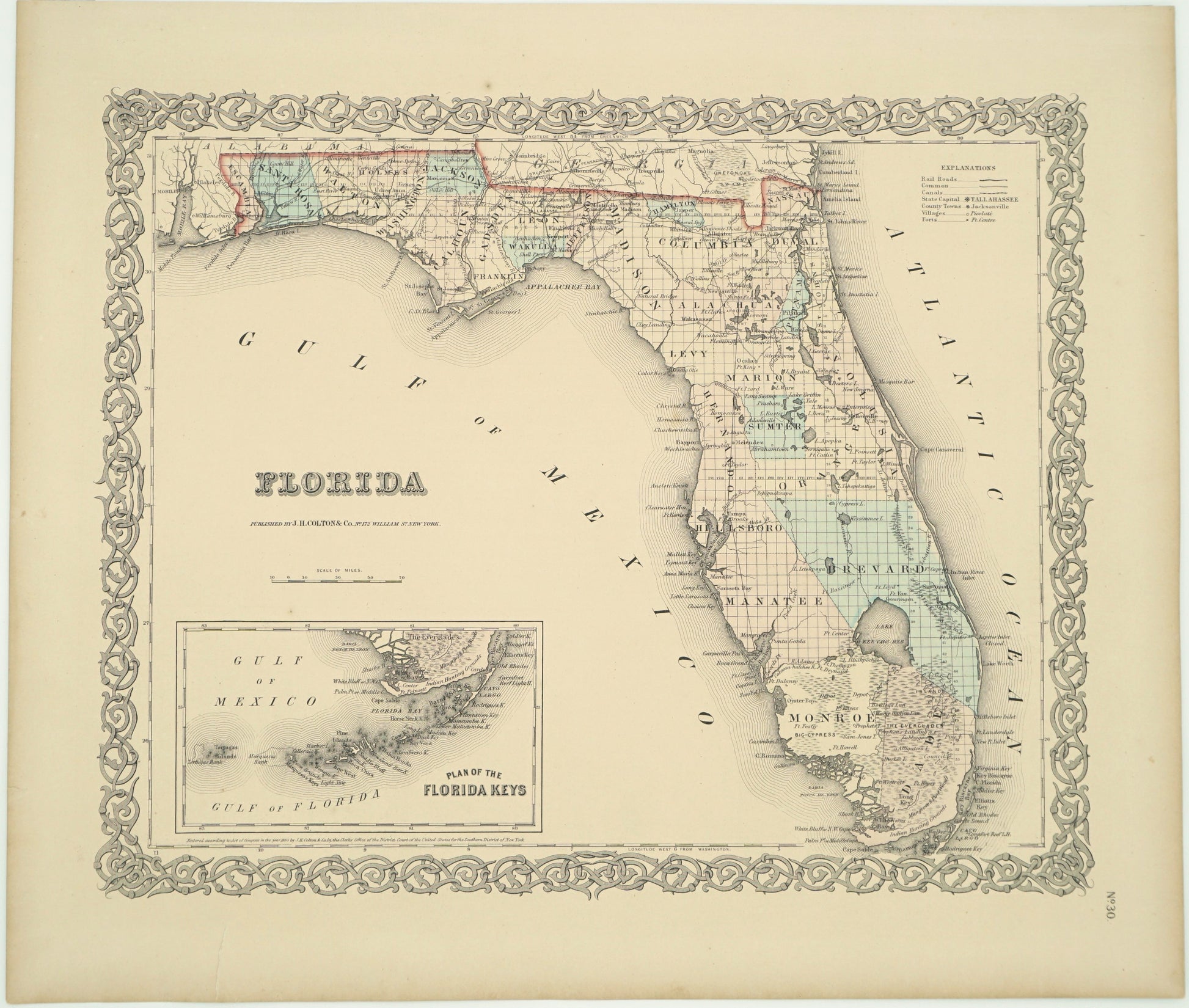
Antique Map of Florida
Antique Map of Florida
Couldn't load pickup availability
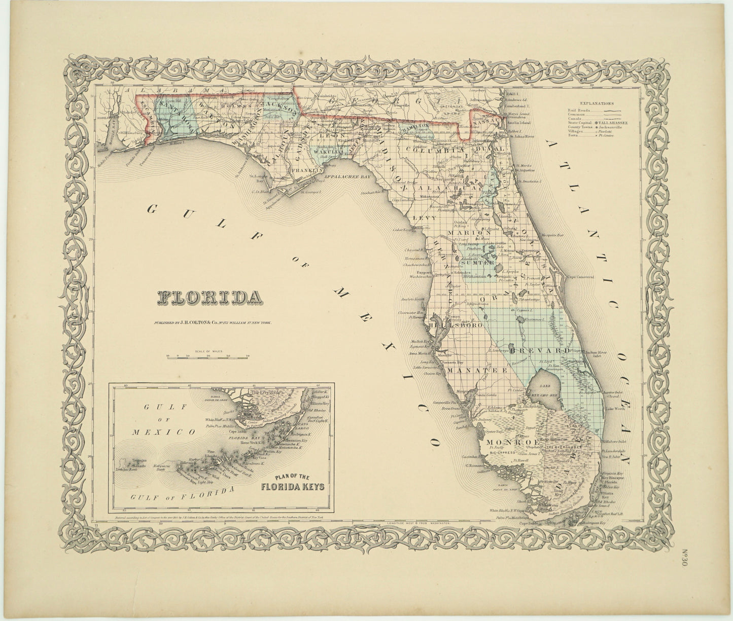
Original Antique Map of Florida
Published 1855 by J.H. Colton and Co
Hand-colored Lithograph
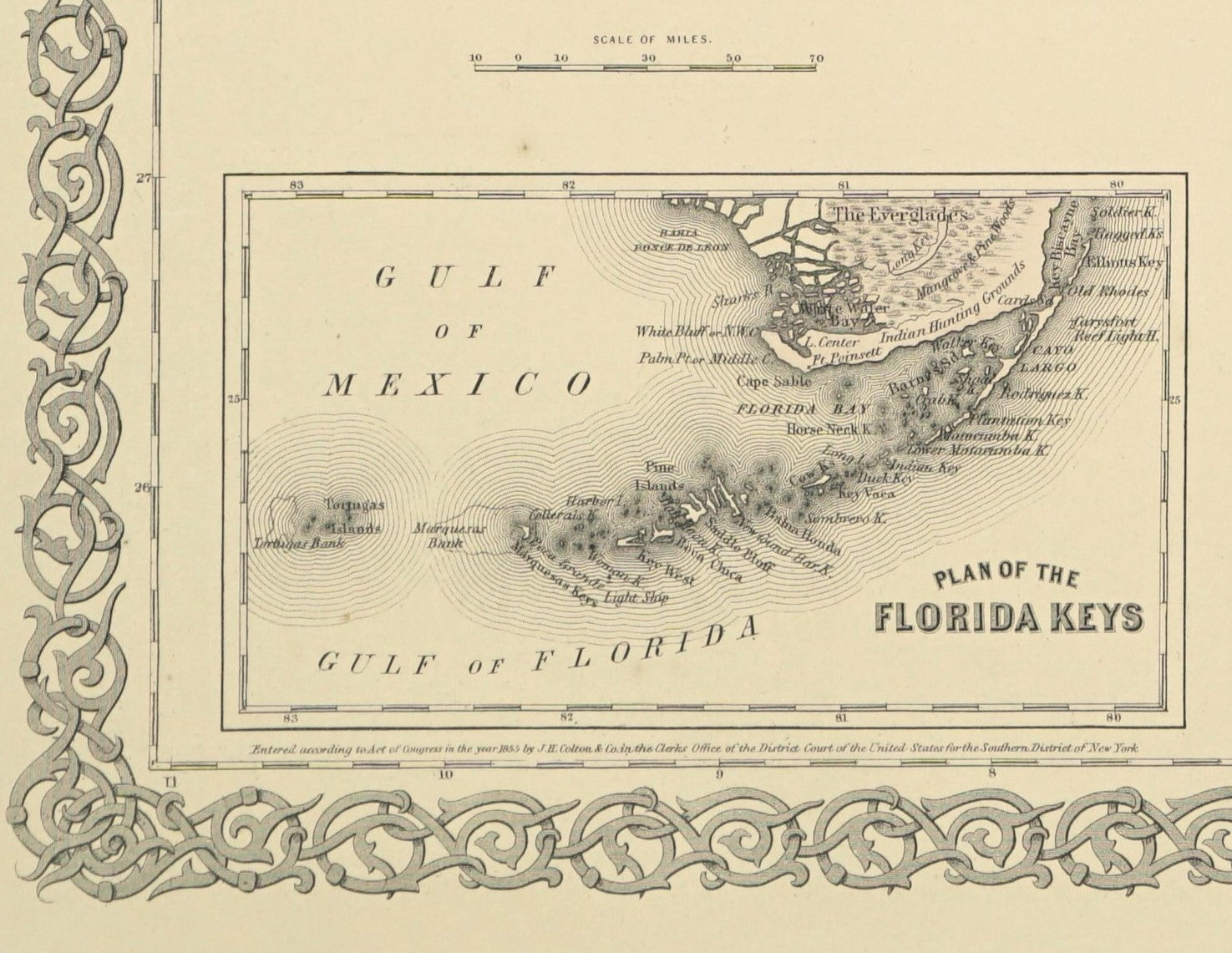
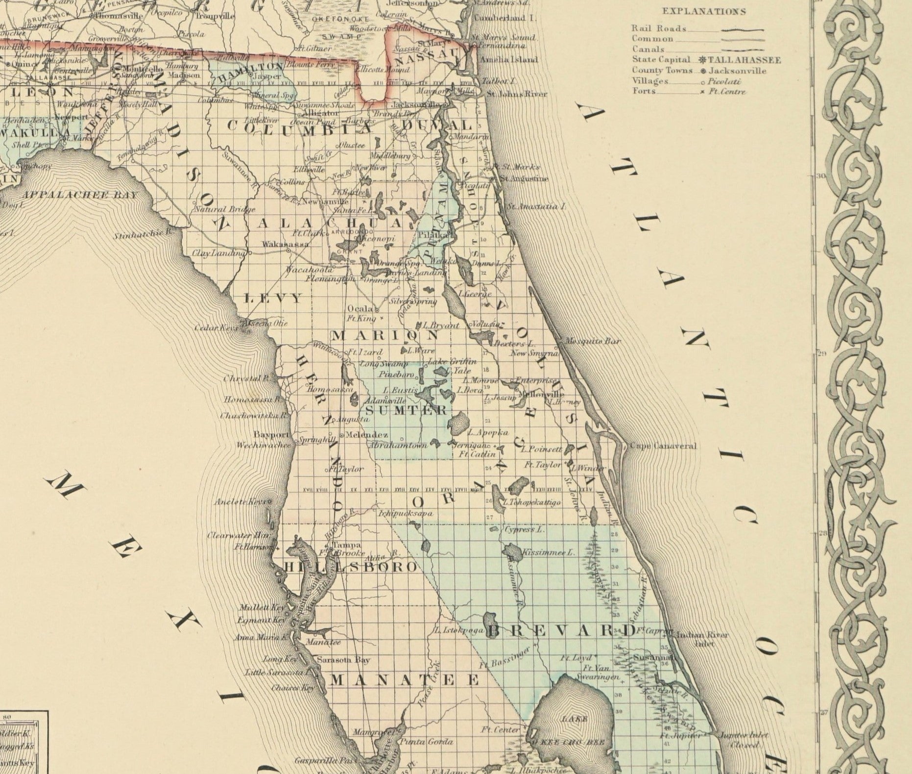
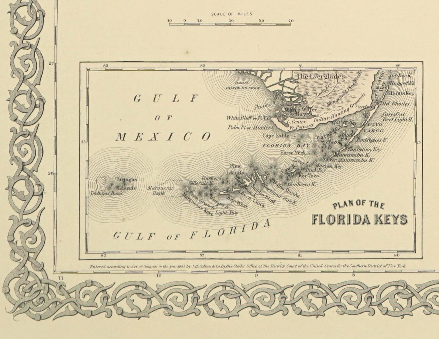
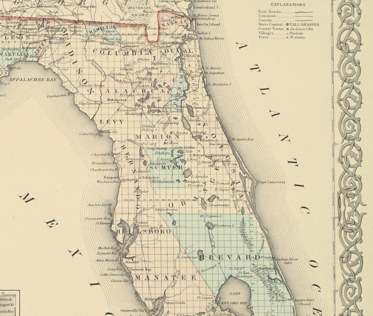
This original antique map of Florida dates to 1855 and includes a plan of the Florida Keys. The black and white lithograph was hand-colored and originally included in a larger atlas. Featuring railroads, canals, cities, and towns, this map was as useful as it was beautiful.
Dimensions: 16" x 18 1/2"
Condition: Overall very good condition. Paper is toned, as expected with age, but otherwise no notable damage. Edges are intact.
-
Shipping
Share the details of your shipping policy.
-
Returns
Share the details of your return policy.
Image with text
Pair text with an image
Pair text with an image to focus on your chosen product, collection, or artist. Add details on availability, style, or even provide a review.
Image with text
Pair text with an image to provide extra information about your brand or collections.

