
ANTONIO RAIMO GALLERY
Original Antique Map of Atlanta, (Usa), C. 1886
Original Antique Map of Atlanta, (Usa), C. 1886
Regular price
$295.00 USD
Regular price
Sale price
$295.00 USD
Unit price
per
Shipping calculated at checkout.
Couldn't load pickup availability
Original Antique Map of Atlanta,
C. 1886
Hand-colored Print
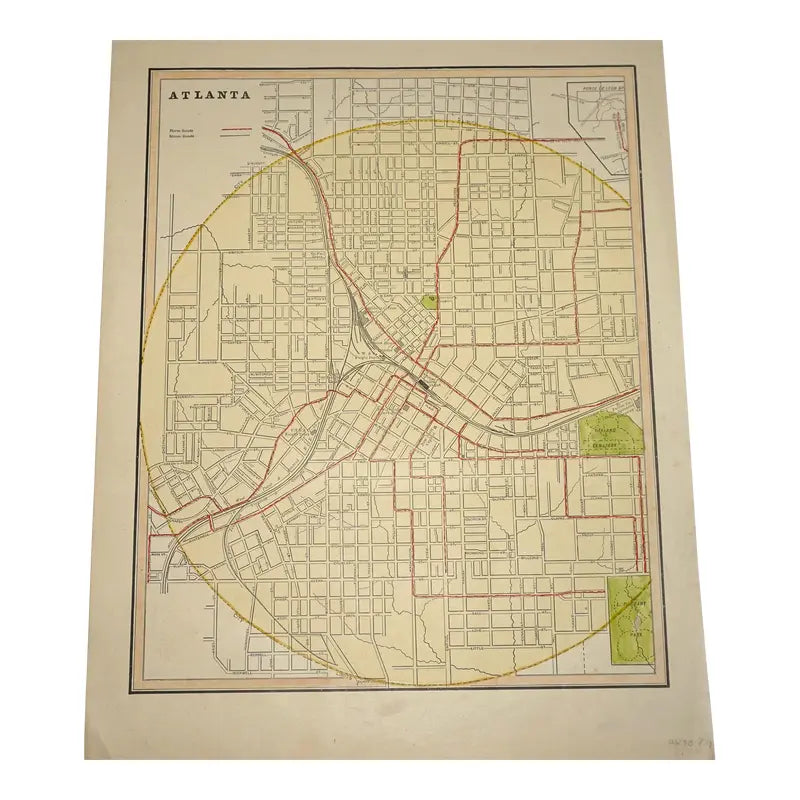
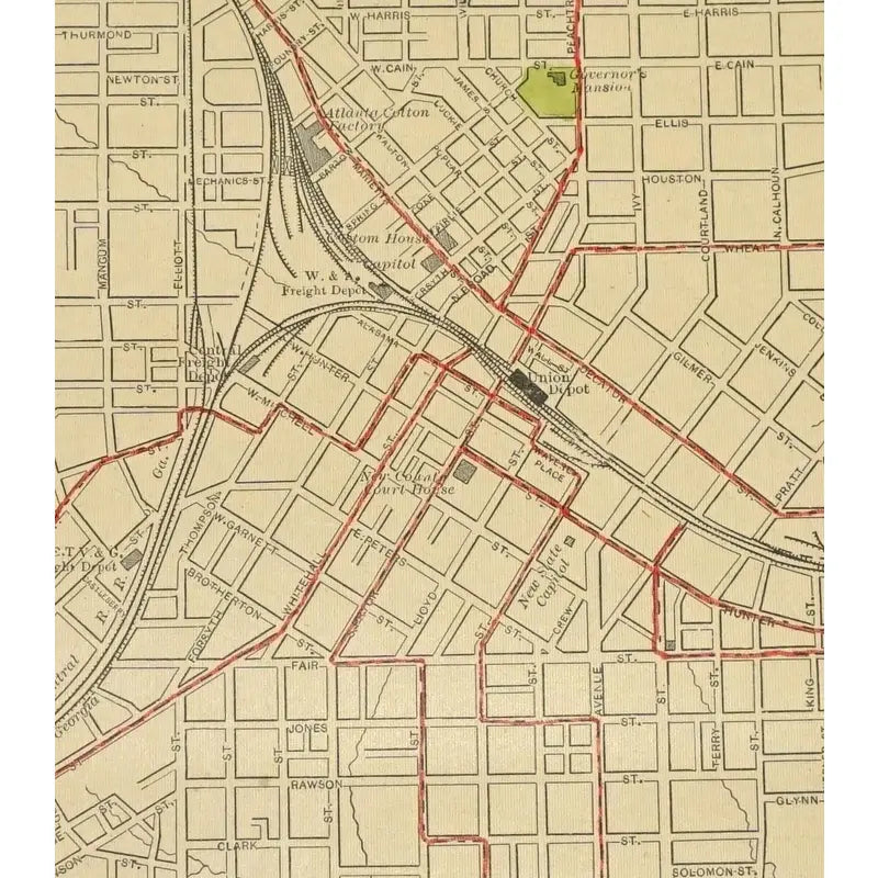
The map of Atlanta displays the several roads, parks locations, railroads, horse draw trolleys and steam roads. This map also contains a huge yellow circle in the middle signifying the central point of Atlanta. It also has the back of another city, New Orleans with similar designs. Published by George Cram in the 1886, this a hand drawn and colored print taken from the "Atlas of the World".
Condition: Has slight tanning alongside the bottom of the print and a red line mark on the bottom left side. Two foxing marks on the top of the print on the left and right side.
Dimension: 11 1/2 " x 14 1/9"
View full details
C. 1886
Hand-colored Print
The map of Atlanta displays the several roads, parks locations, railroads, horse draw trolleys and steam roads. This map also contains a huge yellow circle in the middle signifying the central point of Atlanta. It also has the back of another city, New Orleans with similar designs. Published by George Cram in the 1886, this a hand drawn and colored print taken from the "Atlas of the World".
Condition: Has slight tanning alongside the bottom of the print and a red line mark on the bottom left side. Two foxing marks on the top of the print on the left and right side.
Dimension: 11 1/2 " x 14 1/9"
