ANTONIO RAIMO GALLERY
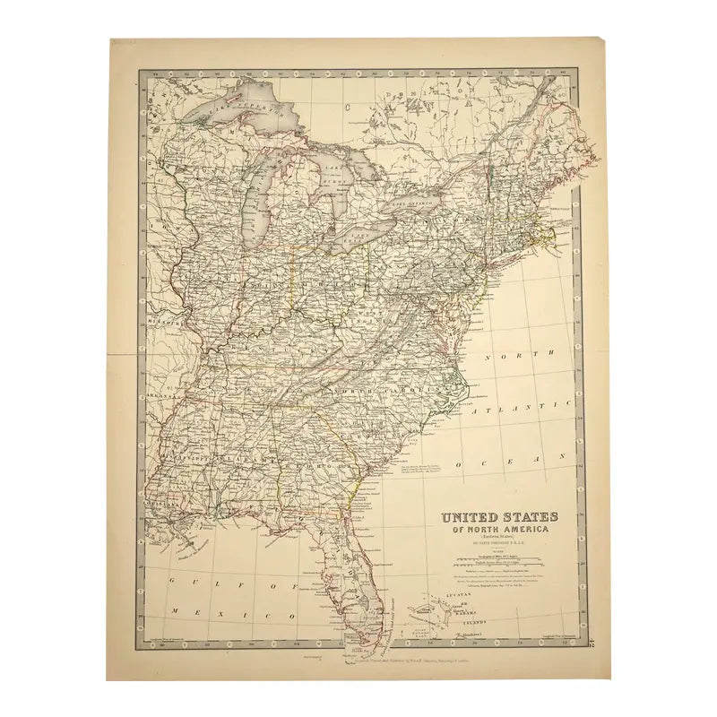
Original Antique Map of Eastern States,(USA), C.1800
Original Antique Map of Eastern States,(USA), C.1800
Regular price
$285.00 USD
Regular price
Sale price
$285.00 USD
Unit price
per
Shipping calculated at checkout.
Couldn't load pickup availability
Original Antique Map of Eastern States
c.1800
Hand-colored print
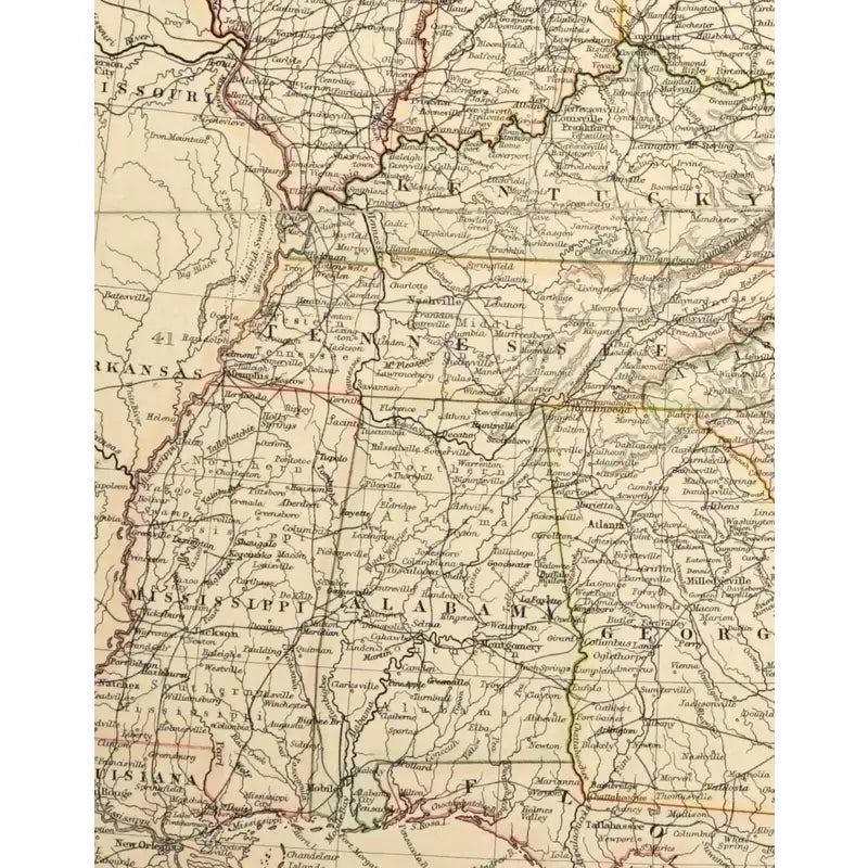
The map depicts the eastern states, to include Georgia, Florida, Kentucky, North Carolina, West Virginia. This map depicts the cities, regions, counties, railroads, routes, and the major bodies of water, like the Gulf of Mexico.
Dimensions: 14 3/8'' x 18 3/4""
Condition: Has a crease line in the middle, graphite mark on the top left, tear mark on the left side, discoloration and a crease mark on the bottom right corner.
View full details
c.1800
Hand-colored print
The map depicts the eastern states, to include Georgia, Florida, Kentucky, North Carolina, West Virginia. This map depicts the cities, regions, counties, railroads, routes, and the major bodies of water, like the Gulf of Mexico.
Dimensions: 14 3/8'' x 18 3/4""
Condition: Has a crease line in the middle, graphite mark on the top left, tear mark on the left side, discoloration and a crease mark on the bottom right corner.


-
Shipping
Share the details of your shipping policy.
-
Returns
Share the details of your return policy.
Image with text
Pair text with an image
Pair text with an image to focus on your chosen product, collection, or artist. Add details on availability, style, or even provide a review.
Image with text
Pair text with an image to provide extra information about your brand or collections.


