ANTONIO RAIMO GALLERY
Original Antique Map of North & South Carolina, (Usa), C. 1882
Original Antique Map of North & South Carolina, (Usa), C. 1882
Regular price
$325.00 USD
Regular price
Sale price
$325.00 USD
Unit price
per
Shipping calculated at checkout.
Couldn't load pickup availability
Original Antique Map of North & South Carolina
C. 1882
Hand-colored Print
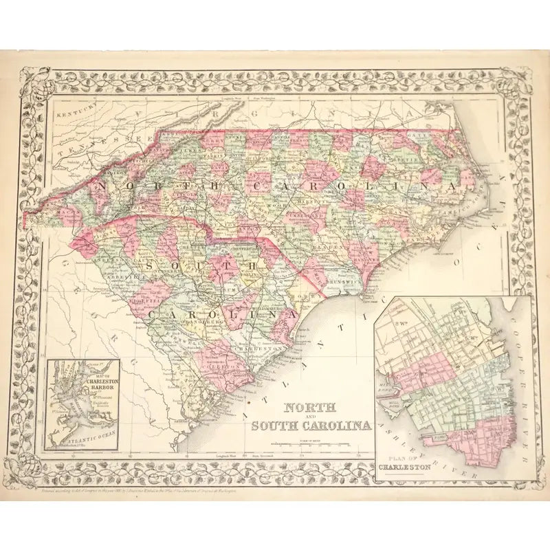
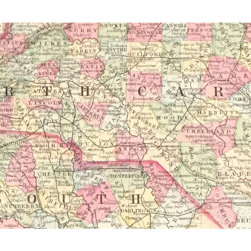
This map depicts the North & Carolina's capitals, regions, counties, railroads, routes, and natural landscapes. This map also showcases a snip of Charleston(SC) and the two rivers that surround the city.
Dimension: 15 1/4'' X 12 1/2''
Condition: Slight tears and rips alongside the edges and corners of the map. Faded hues and some crease marks. Overall in good condition.
View full details
C. 1882
Hand-colored Print
This map depicts the North & Carolina's capitals, regions, counties, railroads, routes, and natural landscapes. This map also showcases a snip of Charleston(SC) and the two rivers that surround the city.
Dimension: 15 1/4'' X 12 1/2''
Condition: Slight tears and rips alongside the edges and corners of the map. Faded hues and some crease marks. Overall in good condition.


-
Shipping
Share the details of your shipping policy.
-
Returns
Share the details of your return policy.
Image with text
Pair text with an image
Pair text with an image to focus on your chosen product, collection, or artist. Add details on availability, style, or even provide a review.
Image with text
Pair text with an image to provide extra information about your brand or collections.


