ANTONIO RAIMO GALLERY
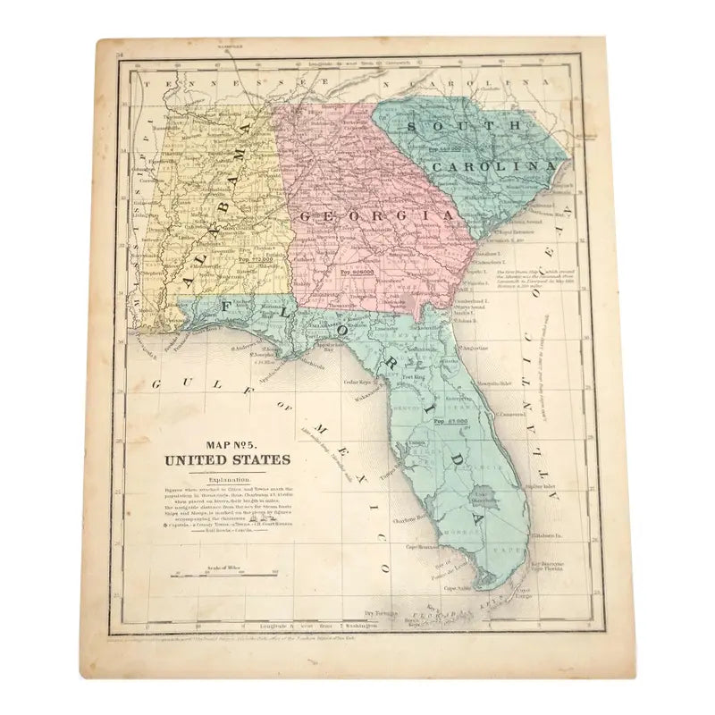
Original Antique Map of Southern States(USA), C. 1800
Original Antique Map of Southern States(USA), C. 1800
Regular price
$375.00 USD
Regular price
Sale price
$375.00 USD
Unit price
per
Shipping calculated at checkout.
Couldn't load pickup availability
Original Antique Map of Southern States(USA)
C. 1800
Hand-colored Print
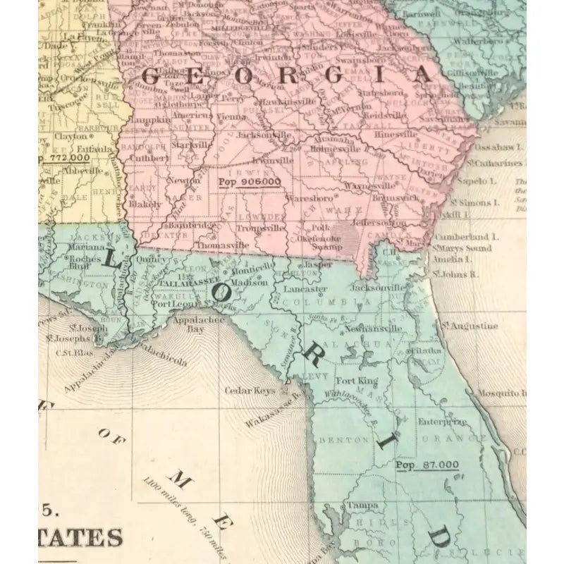
This map is a depicts the major cities, counties, regions, routes and natural landscapes, of four southern states: South Carolina, Alabama, Georgia and Florida. The population around the time this map was created in included as well. This maps also showcases the surrounding states and the two major bodies of water: The Atlantic Ocean and the Gulf of Mexico.
Dimensions: 9 1/2'' X 11 3/4''
Condition: In good condition, has aging marks alongside the edges of the map, a couple of foxing marks as well. Slight tears and creases.
View full details
C. 1800
Hand-colored Print
This map is a depicts the major cities, counties, regions, routes and natural landscapes, of four southern states: South Carolina, Alabama, Georgia and Florida. The population around the time this map was created in included as well. This maps also showcases the surrounding states and the two major bodies of water: The Atlantic Ocean and the Gulf of Mexico.
Dimensions: 9 1/2'' X 11 3/4''
Condition: In good condition, has aging marks alongside the edges of the map, a couple of foxing marks as well. Slight tears and creases.


-
Shipping
Share the details of your shipping policy.
-
Returns
Share the details of your return policy.
Image with text
Pair text with an image
Pair text with an image to focus on your chosen product, collection, or artist. Add details on availability, style, or even provide a review.
Image with text
Pair text with an image to provide extra information about your brand or collections.


