
ANTONIO RAIMO GALLERY
Original Antique Map of the American Indian Territory, USA, c.1800
Original Antique Map of the American Indian Territory, USA, c.1800
Regular price
$285.00 USD
Regular price
Sale price
$285.00 USD
Unit price
per
Shipping calculated at checkout.
Couldn't load pickup availability
Original Antique Map of the Indian Territory
C.1800
Hand-colored print
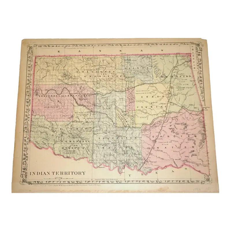
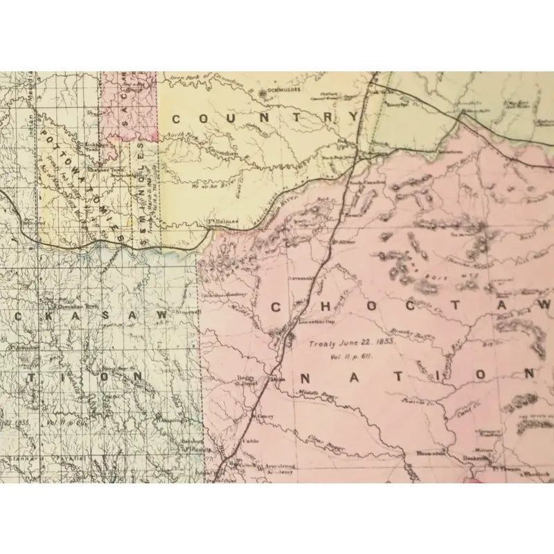
This map depicts the thirteen Indian territories to include: the Choctaw Nation, Chickasaw Nation, Creek county, in the Great Plains. Locations of the Treaties, that were signed are showcased, as well as the year, a couple of cities, the railroads, rivers, lakes, and surround states.
Dimensions: 15'' x 12 1/2''
Condition: Has tears alongside the edges and corners of the map, faded hues and tear marks from a previous page.
View full details
C.1800
Hand-colored print
This map depicts the thirteen Indian territories to include: the Choctaw Nation, Chickasaw Nation, Creek county, in the Great Plains. Locations of the Treaties, that were signed are showcased, as well as the year, a couple of cities, the railroads, rivers, lakes, and surround states.
Dimensions: 15'' x 12 1/2''
Condition: Has tears alongside the edges and corners of the map, faded hues and tear marks from a previous page.
