
ANTONIO RAIMO GALLERY
Original Antique Map of the Midwest c.1876
Original Antique Map of the Midwest c.1876
Regular price
$425.00 USD
Regular price
Sale price
$425.00 USD
Unit price
per
Shipping calculated at checkout.
Couldn't load pickup availability
Original Antique Map of the Midwest
c.1876
Hand-colored print
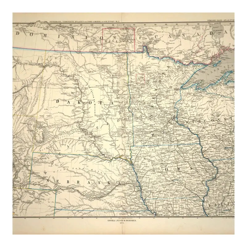
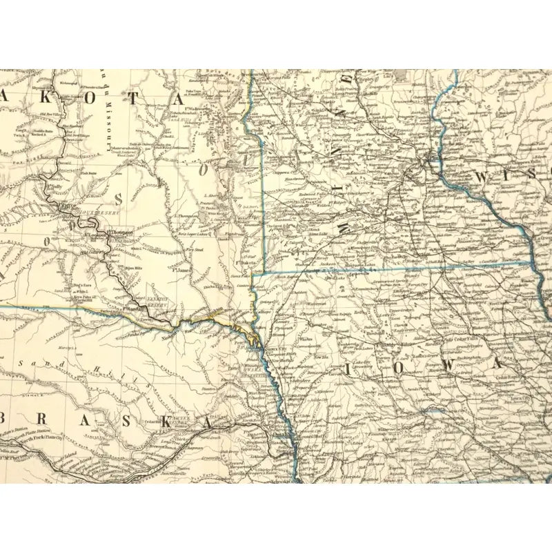
This map depicts the five states that make up the Midwest region of the United States: Iowa, Minnesota, Wisconsin, Illinois, Dakota, and Nebraska. Each states', major cities, natural landscapes, railroads, routes, bodies of water, and states that surround this region are showcased as well.
Dimensions: 18 1/8'' x 15 1/4''
Condition: Has a large vertical crease mark alongside the middle of the map, tears alongside the edges of the map, foxing marks on the bottom left and right corners. Discoloration as well, overall in good condition.
View full details
c.1876
Hand-colored print
This map depicts the five states that make up the Midwest region of the United States: Iowa, Minnesota, Wisconsin, Illinois, Dakota, and Nebraska. Each states', major cities, natural landscapes, railroads, routes, bodies of water, and states that surround this region are showcased as well.
Dimensions: 18 1/8'' x 15 1/4''
Condition: Has a large vertical crease mark alongside the middle of the map, tears alongside the edges of the map, foxing marks on the bottom left and right corners. Discoloration as well, overall in good condition.
