ANTONIO RAIMO GALLERY
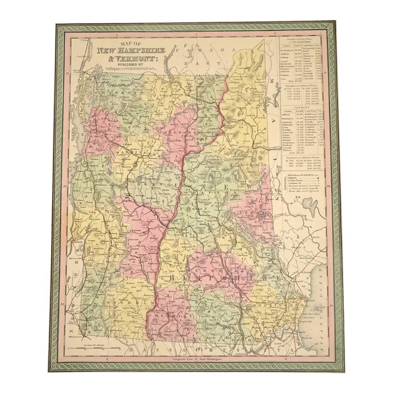
Original Antique Print New Hampshire & Vermont Map,(USA),C. 1850
Original Antique Print New Hampshire & Vermont Map,(USA),C. 1850
Regular price
$320.00 USD
Regular price
Sale price
$320.00 USD
Unit price
per
Shipping calculated at checkout.
Couldn't load pickup availability
Original Antique Print New Hampshire & Vermont Map,
C. 1850
Hand-colored Print
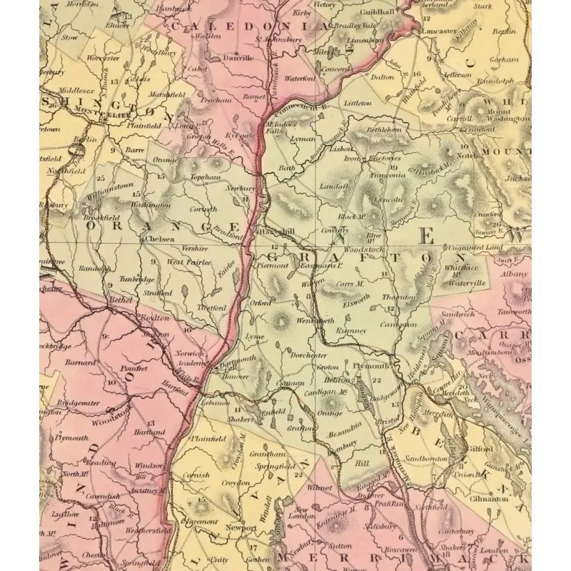
The Map of New Hampshire & Vermont displays the counties, country towns, the capitols, the populations, steamboat and railroad routes. This antique print was published in 1850 by Thomas Cowpethwait & Co, from the book, " New Universal Atlas" including several other states, countries and regions.
Condition: This print is in very good condition, a two markings from the upper right side and bottom left side. As well as, a black dot on the upper left side of the print.
Dimensions: 13 1/8"x 16 1/9"
View full details
C. 1850
Hand-colored Print
The Map of New Hampshire & Vermont displays the counties, country towns, the capitols, the populations, steamboat and railroad routes. This antique print was published in 1850 by Thomas Cowpethwait & Co, from the book, " New Universal Atlas" including several other states, countries and regions.
Condition: This print is in very good condition, a two markings from the upper right side and bottom left side. As well as, a black dot on the upper left side of the print.
Dimensions: 13 1/8"x 16 1/9"


-
Shipping
Share the details of your shipping policy.
-
Returns
Share the details of your return policy.
Image with text
Pair text with an image
Pair text with an image to focus on your chosen product, collection, or artist. Add details on availability, style, or even provide a review.
Image with text
Pair text with an image to provide extra information about your brand or collections.


